


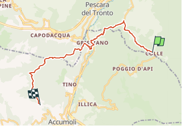

14,1 km | 19,8 km-effort

Tous les sentiers balisés d’Europe GUIDE+


Kostenlosegpshiking-Anwendung
 SityTrail
IGN / Geografische Institute
SityTrail World
Die Welt öffnet sich für Sie
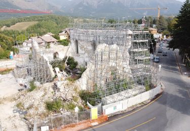
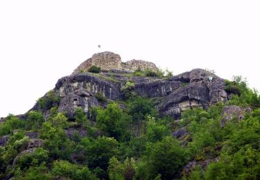
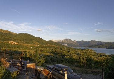
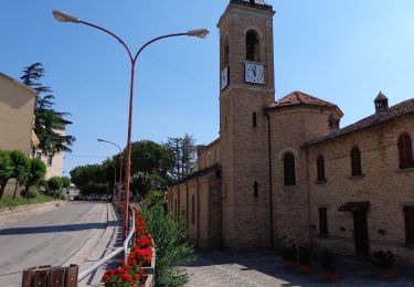
Tour Zu Fuß von 13,3 km verfügbar auf Marken, Ascoli Piceno, Arquata del Tronto. Diese Tour wird von SityTrail - itinéraires balisés pédestres vorgeschlagen.
Sentiero Italia CAI 2019
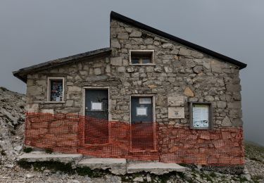
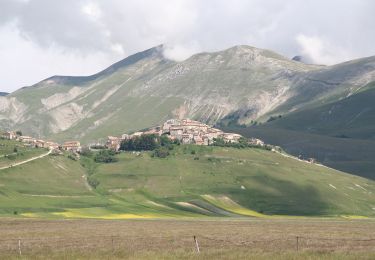
 Colle d'Arquata - Madonna delle Coste - Photo 1")
Zu Fuß
Zu Fuß
Zu Fuß
Zu Fuß
Zu Fuß
Zu Fuß
Zu Fuß
Zu Fuß
Zu Fuß